MESH-Atlantic
Mapping Atlantic Area Seabed Habitats for Better Marine Management
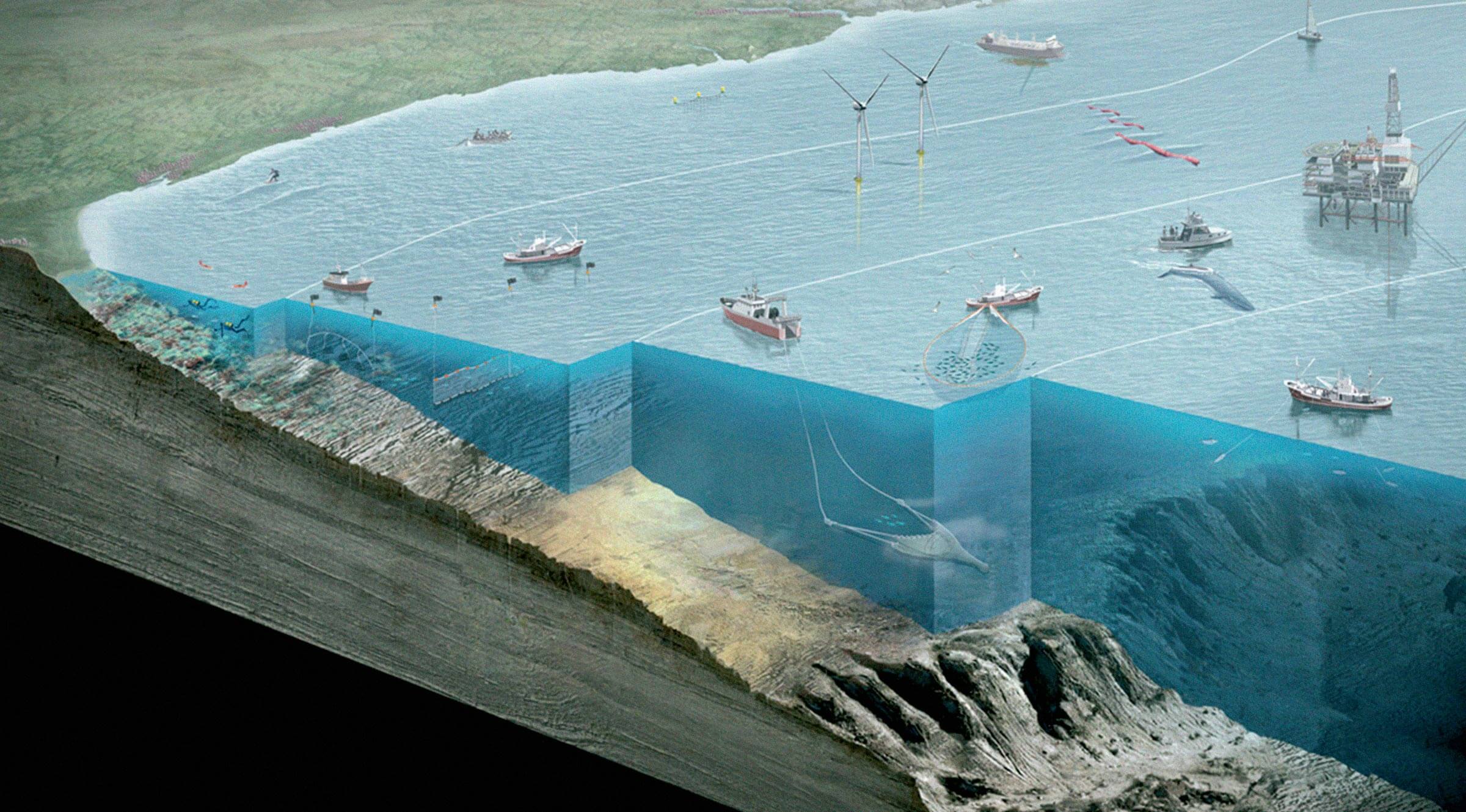
The MESH-Atlantic project aims to compile information on marine habitats in the Atlantic Area and produce harmonised maps to promote their use and serve the community at large. Therefore, the starting point will be the progress made in Europe in terms of mapping marine habitats.
This knowledge will be adapted to the specific characteristics of the Atlantic Area, enabling the different regions to achieve the same level. The main objectives of the project is the production of 3 sets of homogeneous maps for the whole Atlantic Area: a map based on modelling through the integration of oceanographic data and types of seabed available, enhancement and harmonisation of existing maps; creation of detailed maps of pilot areas in the Natura 2000 network.
All of these outputs will be freely accessible on an interactive web mapping system. Based on a multi-faceted communication plan, the project will be carried out in close collaboration with marine environment users, particularly fishermen, conservationists and managers who must take action aimed at spatial planning for the sustainable use of marine space and its resources.
Objective
The Member States and the EC are seriously lacking information on the marine environment, in which the mapping of the seabed habitats is vital for the appropriate implementation of the Habitats Directive.

