COMBAT
Combination of altimetry and HFR data into new multiobservation CMEMS products.
The Mean Dynamic Topography is a key reference surface needed for the assimilation of altimeter measurements in ocean modelling systems, in order to improve the model analysis and forecasts, both at the surface and at depth. Nevertheless, the global Mean Dynamic Topography solutions available to date are less accurate in coastal areas because of larger errors in altimeter data and the lack of in situ observations at mesoscale and sub mesoscale.
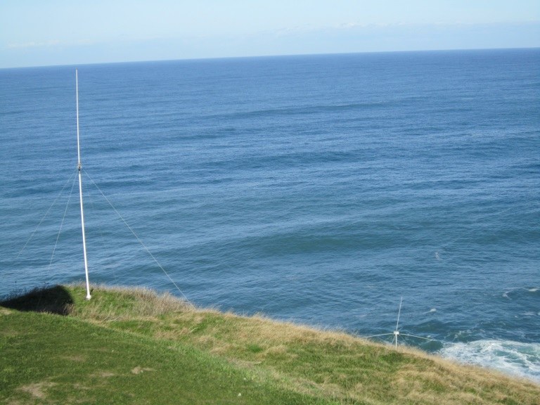
The main objective of COMBAT is to take advantage of a coastal HF radar system available in the south-eastern Bay of Biscay to calculate an improved Mean Dynamic Topography solution in the coastal strip, by combining the high spatial and temporal resolution of the HF radar velocities with other in situ and remote sensing measurements.
To achieve this goal, the ocean signal contained in altimetry and HF radar data will be compared and simulations from local and regional numerical models will be used to better characterize and estimate the different components of the surface currents in both remotely sensed measurements.
After that, the necessary elements for ensuring an effective assimilation in numerical models of the improved coastal Mean Dynamic Topography and the corresponding Absolute Dynamic Topography, will be designed. Although the main computations in COMBAT will be conducted for the south-eastern Bay of Biscay, the methodology that will be developed for this area will be transferable to other CMEMS areas, thanks to the global coverage of the altimetry and the increasing number of HFR systems in the European coasts.
Project Data
| Partners |
AZTI, Collecte Localisation Satellites (CLS), LEGOS/Laboratoire d’Etudes en Géophysique et Océanographie Spatiales. |
| Funding |
MERCATOR OCEAN |
| Lenght |
2018 – 2020 |
| More information |
