Problem addressed
The coastal zone is one of the most dynamic and complex areas of the ocean, where physical processes interact at multiple scales. Global or basin-scale models do not offer sufficient resolution to adequately characterise phenomena such as fronts, eddies, river plumes, or ocean–atmosphere interactions, limiting their practical application in maritime safety, resource management, and coastal planning.
What we do and how we do it
- We develop, implement, and operate 3D ocean–coastal models that simulate physical and biogeochemical dynamics along the southeastern coast of the Bay of Biscay, as well as in other areas of interest.
- We characterise (sub)mesoscale dynamics, including frontal zones, eddies, upwelling and downwelling processes, and atmosphere–ocean interactions.
- We study physical–biogeochemical–biological coupling processes, assessing how physical drivers (hydrography, wind, plumes, fronts, eddies) influence biogeochemical cycles and ecosystems.
- We generate reanalyses and complementary products from models and observations, integrating data from the EUSKOOS network and other sources.
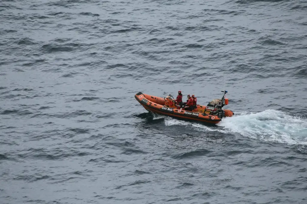
- We deliver near-real-time ocean–coastal information to support maritime safety, port operations, environmental planning, and productive sectors.
- We provide models with higher resolution and more realistic forcing than basin-scale systems, tailored to local and regional needs.
Key benefits
- Operational support for emergencies, with daily data used by maritime rescue and safety services.
- Detailed representation of coastal and ocean processes not captured by global models.
- A solid scientific basis for applied solutions in fisheries, aquaculture, offshore energy, coastal management, and climate change adaptation.
- Access to unique ocean–coastal modelling capabilities in the southeastern Bay of Biscay, backed by AZTI’s extensive observation network and expertise.
- Reliable information to support strategic decision-making in sea-dependent sectors.